By Ronnie Estoque
The U.S. Department of Transportation has provided two federal Strengthening Mobility and Revolutionizing Transportation (SMART) grants to Seattle transportation agencies. One grant of $2 million was awarded to Sound Transit and Seattle Department of Transportation (SDOT) to increase the general safety around the Link light rail along Martin Luther King Jr. Way South, which statistically has been the most dangerous for local residents as reported by the Emerald last year.
“There have been 87 total collisions that have occurred in the MLK corridor since revenue service began,” said John Gallagher, media relations manager at Sound Transit. “These collisions include LRV [light rail vehicle] versus POV [private-owned vehicle], pedestrian, and bicycle, as well as collisions with objects.”
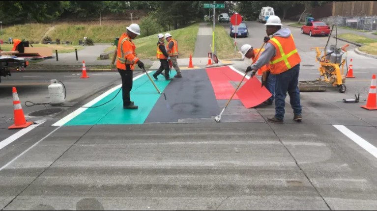
According to Ethan Bergerson, press secretary at SDOT, the agency is planning on adding a marked crosswalk at South Othello Street and 43rd Avenue South, adding leading pedestrian intervals that turn on walk signals prior to drivers receiving green lights at South Othello Street and 39th Avenue South, painting warning markings on pavement crossing the rail tracks, and repainting all road markings in the coming year.
“Leading pedestrian walk signals help make people crossing the street more visible to drivers,” Bergerson said. “This safety enhancement is associated with a 48% reduction in pedestrian turning collisions and a 34% reduction in serious injury and fatal pedestrian collisions based on past data from other locations around Seattle.”
The first phase of this SMART grant will be in effect for 18 months, in which Sound Transit hopes to gather video analytics and data on utilized technologies. The agency is also planning on applying for the second phase award of $15 million to implement necessary changes to their current system.
The second federal SMART grant of $2 million was awarded to SDOT to establish a digital commercial vehicle permits pilot program through a collaboration with the University of Washington’s Urban Freight Lab (UFL) and the Open Mobility Foundation (OMF).
“The UFL hopes to build on our existing body of research on commercial vehicle activity, driver behaviors, and curb management strategies most recently explored in a Department of Energy grant that concluded in 2022,” Kelly Rula, director of Policy and Partnerships at the UFL, said.
The UFL was established in October 2016 alongside founding partners which included SDOT, Nordstrom, UPS, USPS, and Costco. The organization consolidates the work of local City transportation officials and industry experts to determine the best practices of urban freight management and infrastructure implementations.
“SDOT analysis has shown that urban freight networks disproportionately impact South Seattle neighborhoods that are located near industrial and warehouse districts,” Bergerson said. “This program is designed to prototype new technologies that aim to reduce traffic congestion caused by delivery vehicles and promote more sustainable forms of delivery by improving access to Seattle’s commercial vehicle load zones.”
The OMF is a nonprofit that utilizes open-source data standards and tools, including the Mobility Data Specification (MDS) and Curb Data Specification (CDS), to improve transportation in cities such as Portland, San Francisco, San Jose, Los Angeles, Minneapolis, Philadelphia, and Miami.
“The open-source Curb Data Specification lies at the heart of this collaborative effort and will be used in each project. CDS is a digital tool that helps cities and companies pilot and scale dynamic curb zones,” Angela Giacchetti, OMF’s member engagement manager, said. “At its core, CDS is a set of APIs that provide a mechanism for expressing static and dynamic regulations, measuring activity at the curb, and developing policies that create more accessible, useful curbs.”
Other cities such as Oakland have updated their curb management program using various technologies. As reported by Michael Brady in Smart Cities Dive, the City of Oakland is simplifying the curb management process for permitted commercial operators. Their collaboration with Populus utilizes CDS to allow permitted commercial operators to use location data to pay for curbside space, instead of cash, feed meters, or credit cards.
“This new paradigm for managing commercial loading zones improves enforcement, ensuring that these spaces are open and available for the delivery operators who really need them,” Giacchetti said. “In turn, this reduces instances of unsafe practices including double parking, blocking travel lanes and/or bike lanes. Also, by reducing the prevalence of vehicles blocking these spaces, cities can create safer streets and sidewalks for the most vulnerable road users.”